Visualizer for digital twins
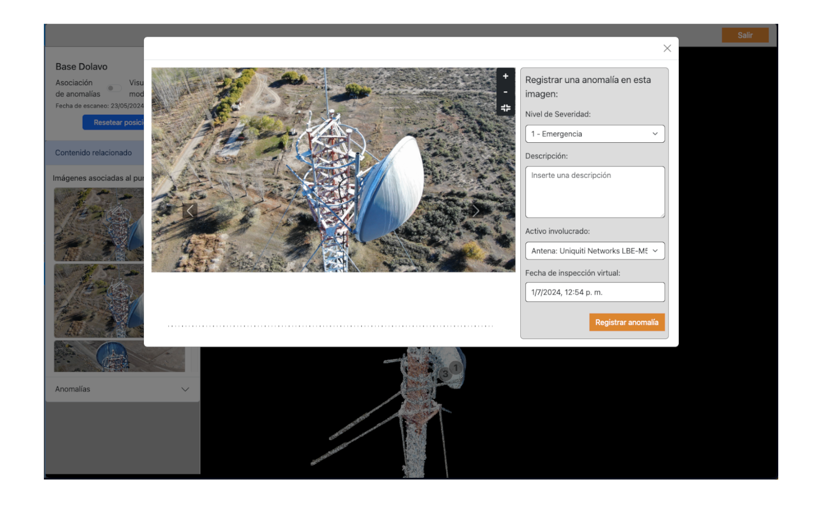
Our client, a company that manages infrastructure in hard-to-reach areas, needed to implement a remote preventative maintenance solution. The solution required the use of drones to capture images and data of these infrastructures, allowing evaluation and maintenance without the need to send personnel to remote and potentially dangerous locations.
We conducted a proof of concept to determine how to manipulate data output from drones and how to render large amounts of data while providing an interactive visualization. Once the tools to be used and their capabilities were validated, the project was executed.
We implemented an interactive viewer to examine data, integrating drones and geospatial visualization systems. After validating tools, we deploy the solution in rigorous testing to ensure its functionality and accuracy. The integrated display allowed efficient preventive maintenance without physical travel.
The project significantly improved operational efficiency by detecting issues remotely and reducing costs and risks. It proved to be scalable and adaptable to different infrastructures, satisfying the client with its precision and functionality. This success underscores our ability to innovate and solve complex challenges, setting a new standard in remote infrastructure management.
Project Info
- Category:Product development
- Client: Telco Company
- Location: Argentina
- Completed Date: 2024
- Technologies: WebGL - AWS Cloud